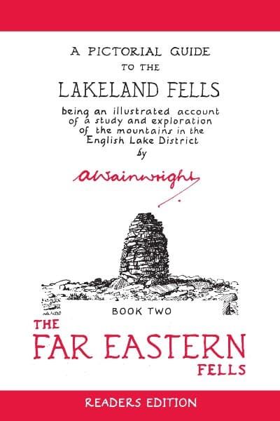
The Far Eastern Fells
| High Street | 828 metresm |
|---|---|
| High Raise (Martindale) | 802 metresm |
| Rampsgill Head | 792 metresm |
| Thornthwaite Crag | 784 metresm |
| Kidsty Pike | 780 metresm |
| Harter Fell (Mardale) | 779 metresm |
| Caudale Moor | 763 metresm |
| Mardale Ill Bell | 760 metresm |
| Ill Bell | 757 metresm |
| The Knott | 739 metresm |
| Kentmere Pike | 731 metresm |
| Froswick | 720 metresm |
| Branstree | 712 metresm |
| Yoke | 707 metresm |
| Gray Crag | 699 metresm |
| Rest Dodd | 696 metresm |
| Loadpot Hill | 672 metresm |
| Wether Hill | 671 metresm |
| Tarn Crag (Sleddale) | 664 metresm |
| Place Fell | 657 metresm |
| Selside Pike | 655 metresm |
| Grey Crag | 638 metresm |
| Hartsop Dodd | 619 metresm |
| Shipman Knotts | 587 metresm |
| The Nab | 576 metresm |
| Angletarn Pikes | 567 metresm |
| Brock Crags | 561 metresm |
| Arthur's Pike | 533 metresm |
| Bonscale Pike | 524 metresm |
| Sallows | 516 metresm |
| Beda Fell | 509 metresm |
| Wansfell | 487 metresm |
| Sour Howes | 483 metresm |
| Steel Knotts | 432 metresm |
| Hallin Fell | 388 metresm |
| Troutbeck Tongue | 364 metresm |
Interactive Ordnance Survey map loading
A Pictorial Guide to the Lakeland Fells - Book Two: The Far Eastern Fells
The Far Eastern Fells was the third of seven books that Alfred Wainwright wrote in his bestselling walkers guidebook series, A Pictorial Guide to the Lakeland Fells. Wainwright originally thought the books wouldn't be very successful but the public loved them and still do to this day, spending many hours pouring over the words and intricate drawings of each fell.
