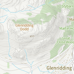
Glenridding Dodd
height 442 metresm - NY 38051 17557




Routes Taking in Glenridding Dodd
| Glenridding Horseshoe | 7 Wainwrights | 16.8 kilometreskm | 1,296 metresm | 6 hourshrs 22 minutesmins |
|---|---|---|---|---|
| A Glenridding Circuit | 6 Wainwrights | 18.2 kilometreskm | 1,268 metresm | 6 hourshrs 40 minutesmins |
| Glenridding | 9 Wainwrights | 26.2 kilometreskm | 1,517 metresm | 9 hourshrs 4 minutesmins |
| Book One: The Eastern Fells | 35 Wainwrights | 94.7 kilometreskm | 6,028 metresm | 33 hourshrs 43 minutesmins |
| A Wainwright Round | 214 Wainwrights | 525.1 kilometreskm | 35,164 metresm | 189 hourshrs 53 minutesmins |
A Pictorial Guide to the Lakeland Fells
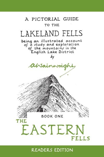
Glenridding Dodd appears in Alfred Wainwright's book A Pictorial Guide to the Lakeland Fells - Book One: The Eastern Fells.
Maps
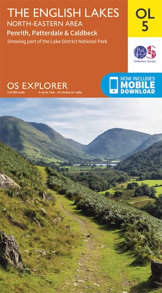
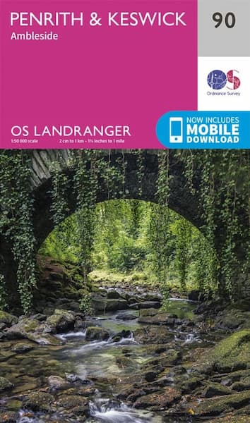
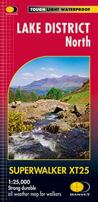
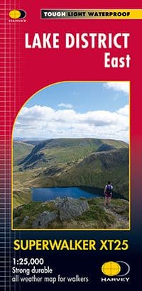
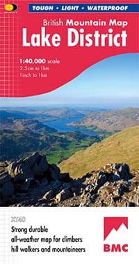
Modern technology has made navigating in the Lake District fells much easier, however, it is imperative that you also carry a map and compass and know how to use them. Glenridding Dodd appears on the following Ordnance Survey and Harvey Maps.
