High Seat
height 608 metresm - NY 28709 18045






Routes Taking in High Seat
| Above Thirlmere | 7 Wainwrights | 21.4 kilometreskm | 1,068 metresm | 7 hourshrs 8 minutesmins |
|---|---|---|---|---|
| The North Central Fells | 6 Wainwrights | 19.9 kilometreskm | 1,038 metresm | 6 hourshrs 43 minutesmins |
| Shoulthwaite | 10 Wainwrights | 32.9 kilometreskm | 1,643 metresm | 10 hourshrs 57 minutesmins |
| Book Three: The Central Fells | 27 Wainwrights | 71.3 kilometreskm | 4,261 metresm | 24 hourshrs 56 minutesmins |
| A Wainwright Round | 214 Wainwrights | 525.1 kilometreskm | 35,164 metresm | 189 hourshrs 53 minutesmins |
A Pictorial Guide to the Lakeland Fells
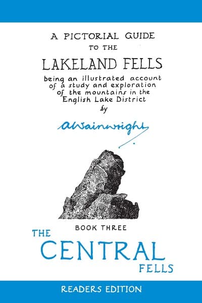
High Seat appears in Alfred Wainwright's book A Pictorial Guide to the Lakeland Fells - Book Three: The Central Fells.
Maps
Modern technology has made navigating in the Lake District fells much easier, however, it is imperative that you also carry a map and compass and know how to use them. High Seat appears on the following Ordnance Survey and Harvey Maps.

