The Tops of Warnscale Bottom
Route Details
| Distance: | 11.1 kilometreskm |
|---|---|
| Ascent: | 949 metresm |
| Estimated Duration: | 4 hourshrs 21 minutesmins How is estimated duration calculated? |
| Wainwrights Visited: | 4 |
| Start & Finish: | Gatesgarth - NY 1944 1499 |
This route is part of the Walk the Wainwrights in 45 Walks collection.
Route Map
Route Profile
4 Wainwrights Visited
| Name | Height | Region |
|---|---|---|
| Fleetwith Pike | 649 metresm | The Western Fells |
| Grey Knotts | 697 metresm | The Western Fells |
| Brandreth | 715 metresm | The Western Fells |
| Haystacks | 597 metresm | The Western Fells |
Maps
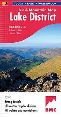
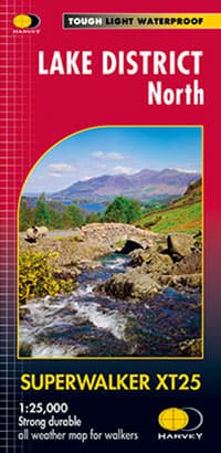
Modern technology has made navigating in the Lake District fells much easier, however, it is imperative that you also carry a map and compass and know how to use them.
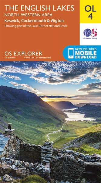
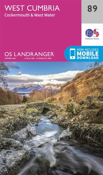
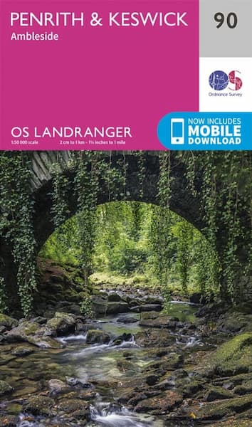
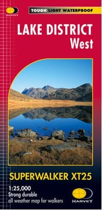
The following maps cover the full The Tops of Warnscale Bottom route.
The following maps only show part of the The Tops of Warnscale Bottom route. As such you will need to pair each map with another to provide full coverage.
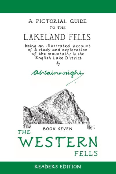
The Western Fells
All of the Wainwrights visited by this route appear in The Western Fells, the eighth of seven books that Alfred Wainwright wrote in his bestselling walkers guidebook series, A Pictorial Guide to the Lakeland Fells.
Frequently Asked Questions
How is estimated duration calculated?
Estimated duration is calculated using Naismith's rule, based on someone moving at a speed of 4 kilometres per hour whilst adding 1 minute for every 10 metres of ascent. Please be aware this calculation assumes you are continually moving and does NOT take into account any breaks.
Disclaimer
The walking routes on this website are provided for informational purposes only. While every effort is made to ensure accuracy, the website and its creators do not guarantee the safety, condition, or suitability of any route. Users are responsible for assessing the routes and ensuring they are appropriate for their fitness and ability. Hill walking involves inherent risks, including uneven terrain and adverse weather, and users should take necessary precautions. The website and its creators are not liable for any injury, loss, or damage resulting from the use of these routes.
